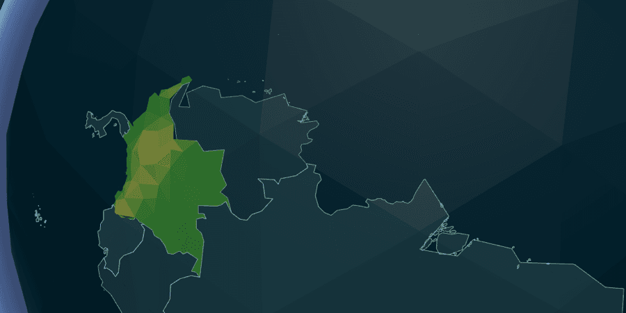
Tectonic is a free 3D geography jigsaw game built around real country outlines. Instead of naming a highlighted country, the player reconstructs the map itself: drag a country to its true location, connect it to the growing frontier, and watch separate pieces become a shared terrain world.
It is the fourth title in the Scalargame daily set and works in modern desktop and mobile browsers without requiring an account.
Globe: build the world through adjacency
Every Globe run starts with one seed country already placed. The remaining drawer contains real silhouettes for 193 more countries, grouped by continent. Only countries that share a border with the placed cluster are currently playable.
That frontier rule is the core design decision. It turns a potentially overwhelming world map into a chain of local questions: what borders this country, and where does that neighbor belong on the globe?
A correctly placed country snaps into position with visual, sound, and optional haptic feedback. Placement tolerance scales with the country's angular size, with extra help for small islands. The camera follows the growing cluster so the reconstructed area remains readable.
Three Globe modes
- Daily — a shared date-seeded country, a 60-second clock, streak tracking, PAS scoring, and leaderboard eligibility
- Arcade — correct placements add time, streaks increase the bonus, and wrong drops reduce the clock
- Zen — no clock or penalties; the world can be assembled at any pace
Time's Up is a normal result, not a failure. Every country placed by the player still counts. The free seed country is excluded from the score, and the first completed Daily run becomes the official result for that date.
Regions: 200 geographic puzzles
Tectonic Regions is a separate flat jigsaw collection with 200 levels. The catalog spans continents, archipelagos, and national subdivisions such as states and prefectures.
Each level appears assembled during a short countdown, then a tectonic blast scatters its pieces. A fog-of-war system reveals the largest target first. Placing it exposes adjacent targets, allowing the geography to emerge through connected neighborhoods instead of showing every slot at once.
Regions records local time, moves, accuracy, and personal bests. It is intentionally free play and never changes the official daily total or streak.
PAS scoring
Tectonic converts Daily placements to the shared 0–1,000 PAS scale:
PAS = min(1000, round(1000 × (1 - exp(-placed / 5))))
The placed value counts only countries positioned by the player. Five placements earn 632 PAS, ten earn 865, and twenty earn 982. Arcade, Zen, Practice, and Regions remain local-only modes.
Rendering real geography in the browser
Tectonic uses Three.js through React Three Fiber. The 3D stack is lazy-loaded only when a Tectonic route opens, so visitors playing another Scalargame title do not pay its bundle cost. Both playable routes check for WebGL support and show a readable fallback before mounting the scene when 3D rendering is unavailable.
The data pipeline generates country rings, centroids, adjacency, silhouette tiles, terrain maps, and 200 per-level geometry files. Those large assets are served as static files and runtime-cached after use instead of being added to the PWA's initial precache.
Loose pieces use pastel low-poly materials. Correctly placed pieces transition into a shared terrain palette, making completion feel like a world forming rather than a set of disconnected quiz answers. Synthesized Web Audio avoids downloadable sound samples, and reduced-motion preferences are respected around the immersive canvas.
Read the longer case study: How I built Tectonic, a 3D geography game for the web.